Deepfaces

Deepfaces

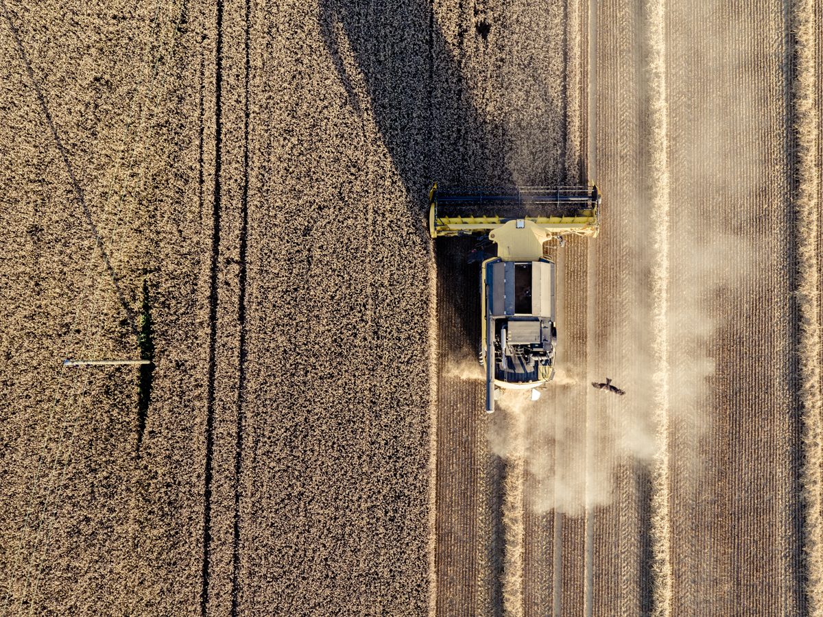
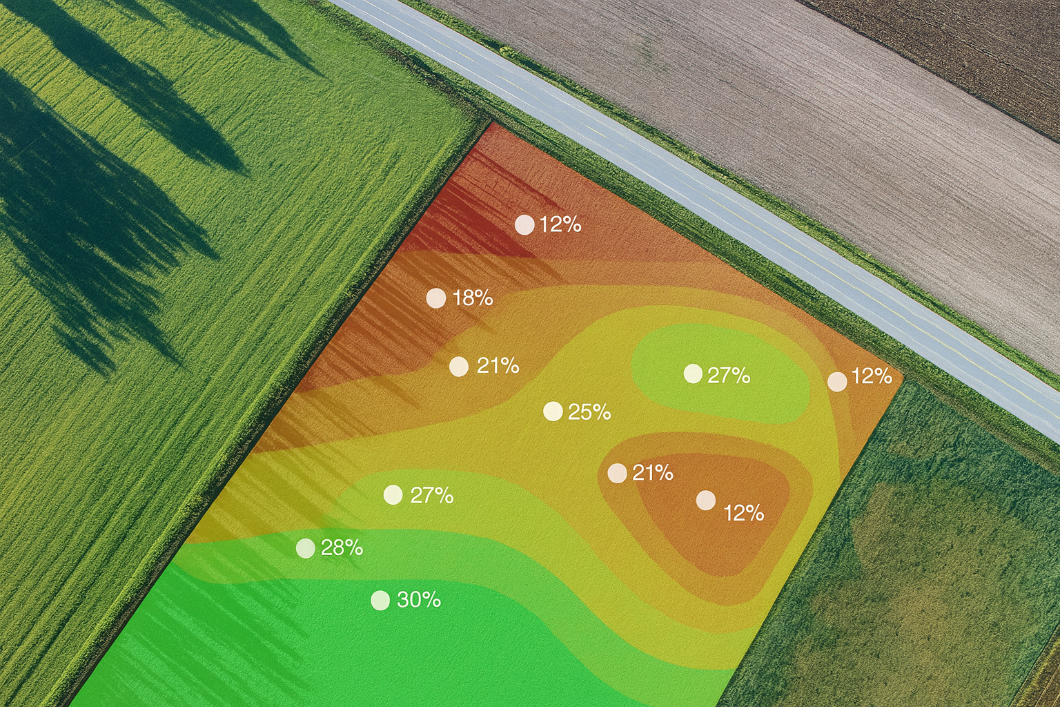
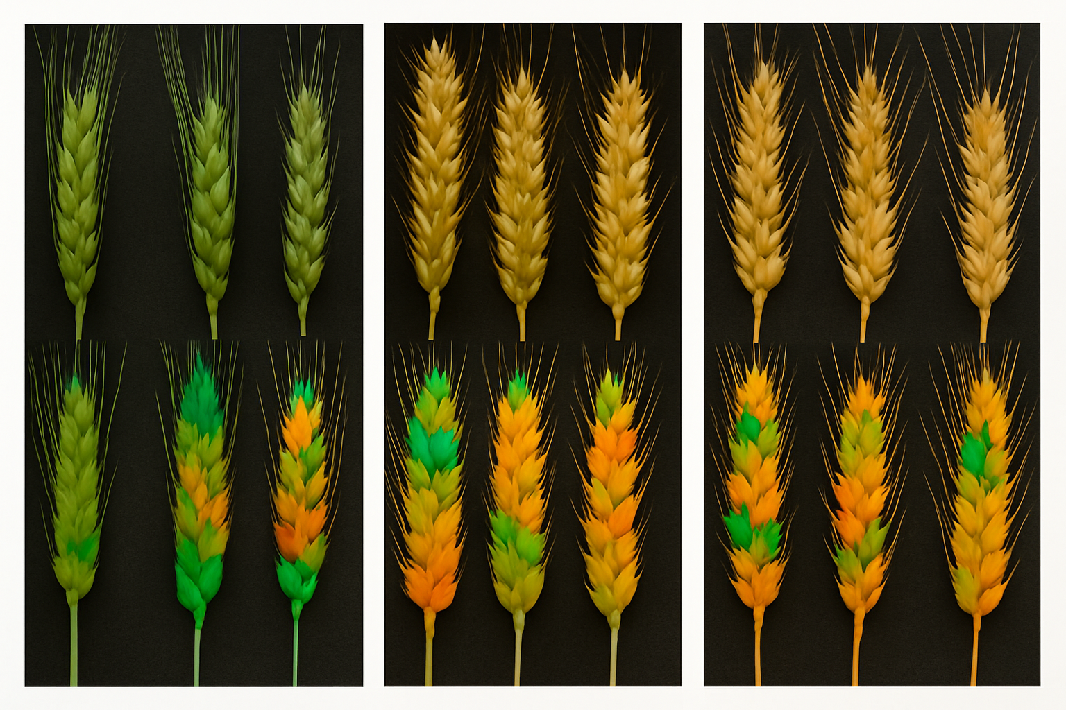
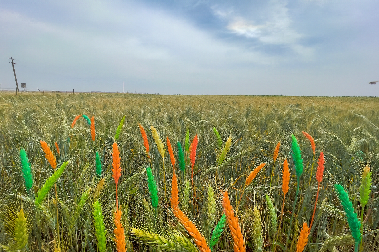
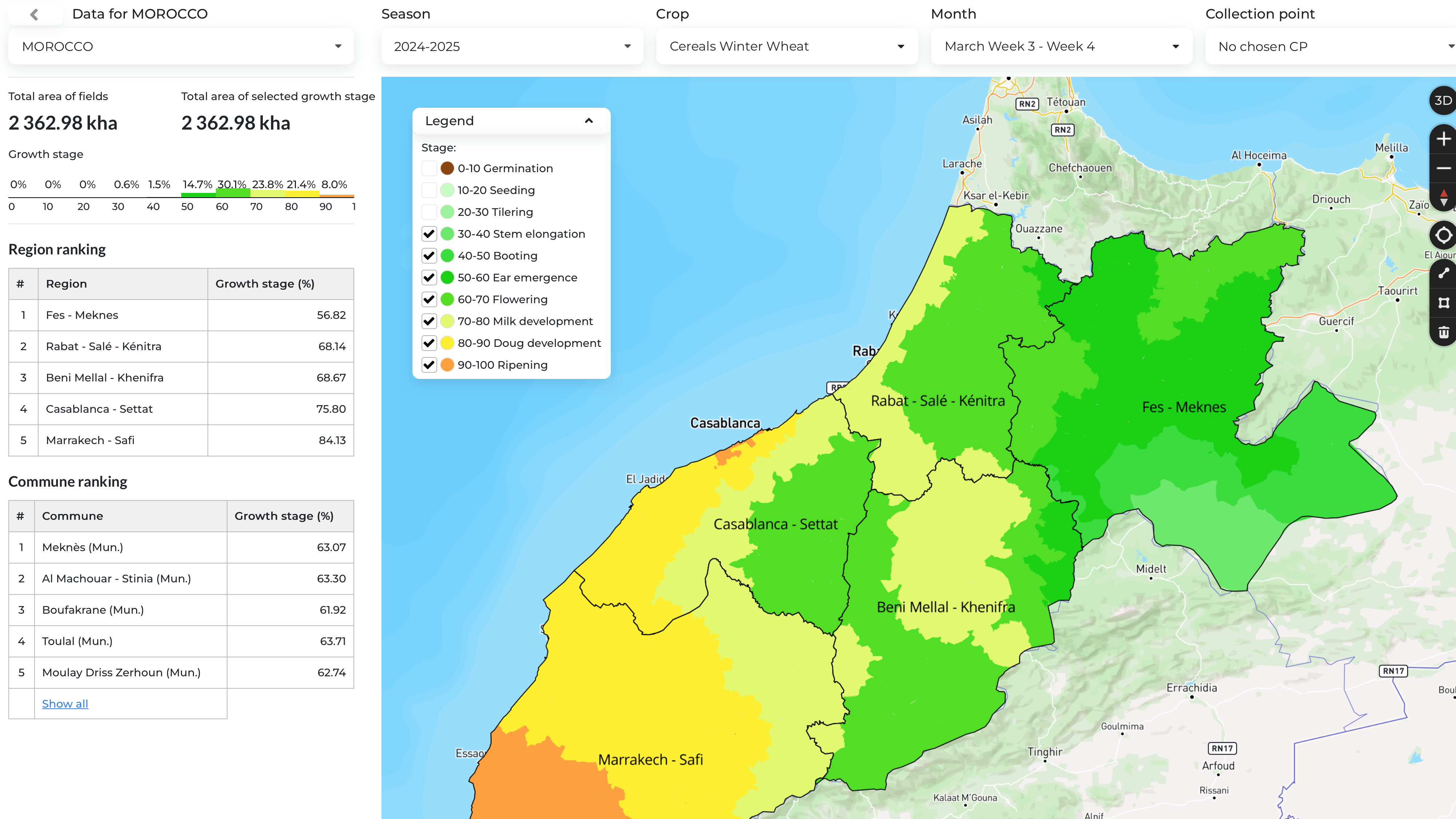
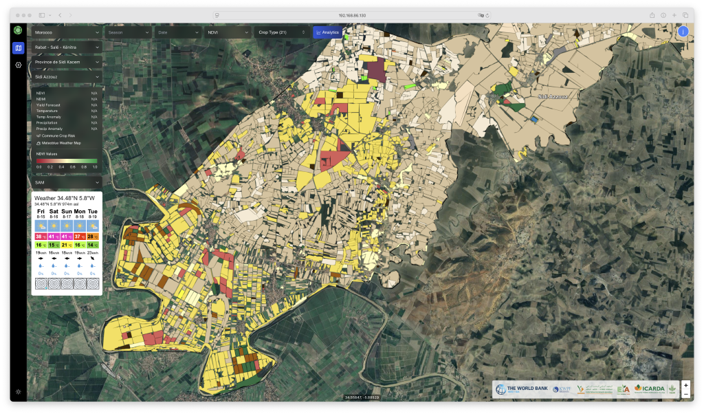
Agri-tech Analytics Solutions
#

We deliver advanced analytics and digital tools tailored to the agricultural sector, helping stakeholders make informed decisions based on reliable data. By combining satellite imagery, ground truth information, and artificial intelligence, we provide smart, data-driven solutions that reduce risk, increase efficiency, and support farmers, institutions, and businesses in building a more productive and sustainable food system resilient to climate variability.

Products   Solutions

Recent

Biomass Field Score
Parcel-level biomass scoring based on satellite time series.
Crop Identification
Parcel-level biomass scoring based on satellite time series.
Crop Risk Score
Parcel-level biomass scoring based on satellite time series.
FieldBoundaries (LPIS)
Accurate field boundary detection and maintenance to power Land Parcel Identification Systems."
Meterological Data
Field‑ready weather history and forecasts for planning, operations, and risk monitoring."
Productivity Zones
Parcel-level biomass scoring based on satellite time series.
Seeding & Harvesting Dates
Reliable detection of sowing and harvest dates at parcel and regional scale.
Tillage Practises
Parcel-level biomass scoring based on satellite time series.
Yield Forecast
From National to parcel yield forecasts for the major crops. 3 months before USDA.